


Modality: ONLINE – In Spanish
Hours: 9:00 am to 4:00 pm both days
Theoretical – Practical
DAY 1.
COURSE AGENDA.
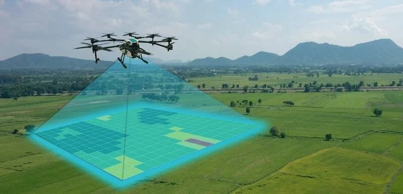
The syllabus of the Topography, Mapping and Photogrammetry using Drones Course covers all the necessary aspects for the effective use of drones to obtain accurate terrain information.
- Drone applications.
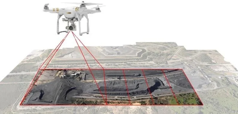
- Direct and indirect photogrammetry
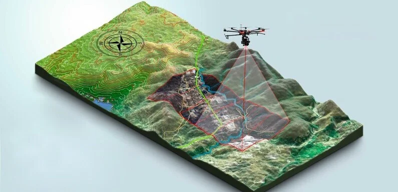
- Mapping an Area.
- Land Topography
- Photogrammetric Workflow
- Resolution.
- GSD
- Overlap or Overlap
- Georeferencing.
- GPS
- GCP (Ground Control Points).
- KLM format
- Difference between MDE/MDS/MDT
- Point cloud
- Orthomosaic
- Contour Curves
- Difference between Photogrammetry and Lidar.
NOTE:
DAY 2.
BASIC CARTOGRAPHY.
- What is cartography and what is it for?
- Maps
- Coordinate Systems
- Parallels and Meridians
- Elevation, height and altitude
- Types of GPS
- FLIGHT TYPES FOR MAPPING
- Autonomous flights (Drone Deploy)
- Manual Flights
- Types of flight planners
- Types of Processors (post – flight)
- AUTONOMOUS FLIGHT PLAN CREATION (Practical)
- Coordinate system in Google Earth
- Polygon in Google Earth
- Generate KLM
- DRONE DEPLOY (Practical)
- What is it for
- Free Account Creation
- Generation of flight plans
- AGISOFT METASHAPE SOFTWARE (Practical)
- What is it for
- Program Installation
- Setting
- Software Familiarization
- Upload Photos
- Photo Orientation
- Dense point cloud
- DTM/MDE/MDS
- Placement of control points
- Point cloud classification
- Contour Curves
- Export of products
- Quality and process report
- PRODUCTS AND RESULTS
- Product Export
- Interpretation of results
- Quality and process report
- COMPLEMENTARY BIBLIOGRAPHY
- recommendations
- Complementary videos.
BUY THE TOPOGRAPHY AND PHOTOGRAMMETRY COURSE USING DRONES
The Drone Surveying and Photogrammetry course is a unique opportunity for those seeking to improve their skills in using drones to obtain accurate terrain information.
In this course, participants will learn the techniques and tools necessary to plan and execute flight missions, process images and collected data to create detailed 3D maps and models, and use specialized software for data analysis and visualization. Additionally, participants will gain knowledge about legal and safety aspects related to the use of drones in surveying and mapping. Purchasing this course is an investment in skills and knowledge that can be applied in diverse fields, from construction and agriculture to disaster management and public safety.
By clicking on the PAY button above, you will be accepting the terms and conditions.


Reviews
There are no reviews yet.